
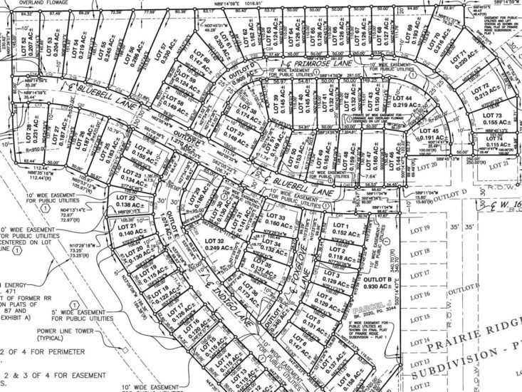
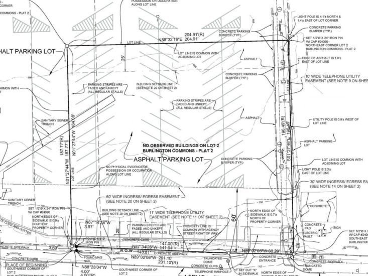
Boundary Surveys
- Urban & Rural Residential Surveys
- Industrial & Commercial Surveys

Our surveying team has a reputation for precision and thoroughness that is respected throughout the region. The combined expertise of our licensed professionals and skilled technicians make Klingner your trusted land surveying firm.
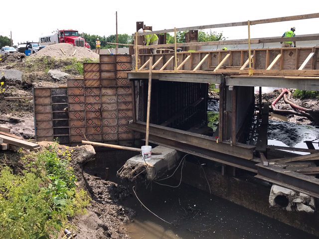
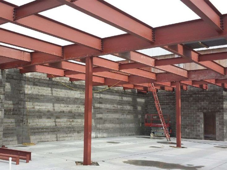
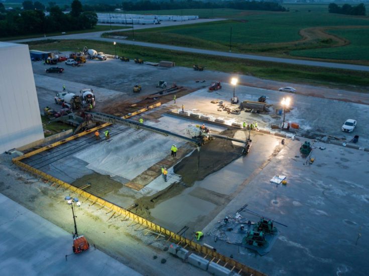
We have the capacity and capability to complete surveys of all types and complexities — from private residences and subdivisions to major building and infrastructure projects.
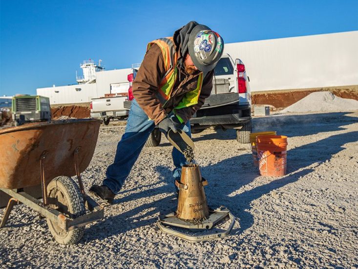
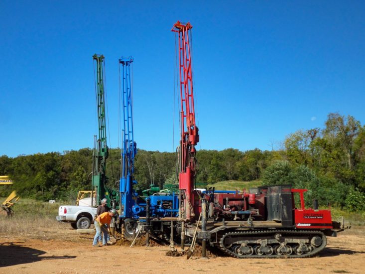
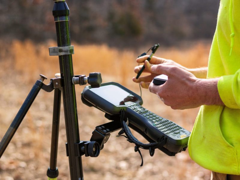
Our team works in multiple programs and integrates robotic total stations, GPS receivers, digital levels, drone solutions, and more for precise project data capture. We also operate a state-of-the-art 3D laser scanner to instantly capture millions of data points to minimize field time, expedite architectural and engineering design services, and reduce the chance for design errors.

From establishing your property corners to design improvements, we can make the process easier with our skilled team of professionals to aid in your surveying needs.


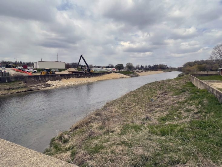
Take your survey to new heights. Klingner owns and operates multiple survey quality drones that enhance the efficiency, speed, and safety of data collection on large-scale sites. In addition to accessing difficult-to-reach locations, our fleet uses LiDAR and advanced photogrammetry to accurately measure site features. With multiple FAA-certified pilots across Illinois, Missouri, and Iowa, there is a Klingner professional ready and able to tackle your survey.
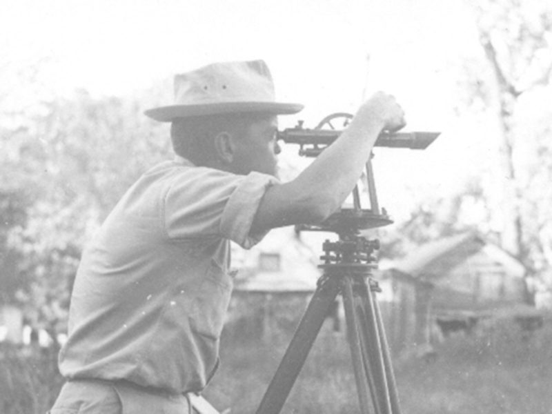
We have a strong team of Professional Land Surveyors and Technicians on staff to help us support a diverse clientele. With over 15,000 completed projects in the past 25 years, we are known for precision and professionalism. Klingner has been providing surveying services since the 1950s, and we look forward to continuing to serve our communities.

As surveying professionals, we have many clients with varying needs. Let us know how we can help you.